Well, where do I even begin?
At the beginning I suppose..
In the beginning of this assignment I immediately realized that there would be much less hand holding when it pertained items that were covered in last week's Module 1 such as file creation, filepath locations, folder setup, etc..
I went back a couple of times and looked at how I had structured my previous folders to help me correctly store the data for this module.
Opening the catalog view and extracting the metadata for the assignment part one was not too hard.
I did however run into a question about the cell that asked for the coordinate systems used in each shapefile.
My answer for those was "GCS_North_American_1983_HARN using Albers conical Equal Area Projection" because even though technically Albers Conical Equal Area itself is not a coordinate system, that's was was listed in the projected coordinate system in the Metadata.
Albers is a mathematical conversion applied to a coordinate system to take it from curved to flat.
The next issue I had became a significant hurdle for me. On Step 11 you are instructed to convert the extents of EscBoundary to degrees for the Process summary Q3.
No matter what I did to follow the directions as perfectly as I could, when I would attempt to selected EscBoundary in the Extent frame under properties, the program would not select it nor change to degrees.
The only thing I'm not happy about with my final product, is the World Imagery layer (At the very bottom of my drawing order, still has the names of Ferry Pass and Some of the other cities behind my labels.
I spent a lot of time trying to remove those but I think I would have to turn off the world imagery view all together which I did not like.
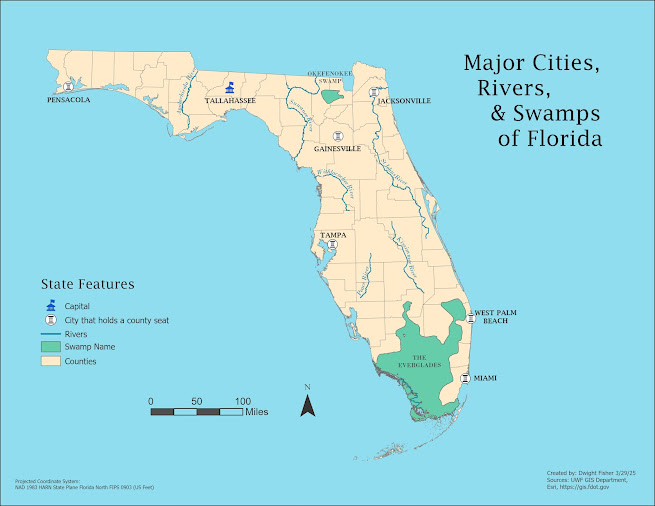
Although I may not think my Exported file of the map isn't going to win any contests any time soon, I feel as though it really directs your attention to the most important information first, which is the Title(purpose of the map), Legend (what you're looking for) and the "Crown Jewel" so to say.
Therefore I would recommend a total of 9-10 hours just on the Lab itself.


Comments
Post a Comment