M6 Georeferencing, Editing, & 3D
In this lab I was asked to take Raster Images and Georeference them to known features by applying control points to the data which would transform an image to stretch, shrink, or otherwise manipulate it to reflect a true reference.
Starting with Aerial images of UWF camps in two parts, I added in multiple polygon, point, and line feature classes as I've done in other Assignments.
I was able to achieve a RMS Error for the North map of 6.85, and 1.58 for the southern map. After Transforming both maps, I added the Heritage Hall Survey PDF and transformed it by applying the same method. However, the first time I did it, my second control points were on the Base map Imagery. This skewed the Heritage hall layer pretty significantly. So I tried another method which was to transform the image to the previously georeferenced UWF_North Map.
The second portion of this was to add in a known Eagles Nest location that is directly east of the University. In this section I utilized some skill from Module 4 by adding a multi-ringed buffer to the eagles nest of 330ft and 660ft.
After which I began working on my map layout.
In this layout I chose to make some changes from my previous layouts.
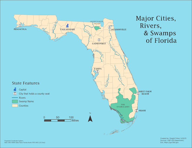
I wanted the reader to be absolutely clear as to what they were looking at. So I opted to utilize two maps, one large and one small, as well as an inset map of the state of Florida that I was able to use from Module 3's data.
The legend was kept simple with no outlines and I included two Scale bars this time, one for each map.
At first, adding the table data was proving difficult and I eventually realized I could just make my own data table in Excel and save to my project data files.
After importing it as a table It was very easy from there adding it to the layout. I added a small arrow pointing at Escambia County and a small Arrow Pointing at the Eagles Nest Location.
So far I consider this my best layout, but time will tell.


Comments
Post a Comment